Bike Ride
Coyote Creek Trail
Hellyer Park to Aircraft Skypark
Itinerary
The itinerary is not set in stone! It's just a rough idea of the timeframe involved. We can always change things on the fly if we're tired or want to play more :)
| Time | Description |
| 9:15am | Meet at Hellyer Park parking lot Unload bikes, pack up stuff |
| 9:30am | Latest time to start biking |
| 9:30 - 10:00am | Check out Hellyer Velodrome |
| 10:00 - 12:00pm | Bike to Aircraft Skypark |
| 12:00 - 1:00pm | Eat picnic lunch at Aircraft Skypark |
| 1:00 - 2:00pm | Hang out at the Skypark, or Bike back along the trail to hang out somewhere along the trail at any point |
| 4:30pm | Arrive back at Hellyer Park Hang out at Hellyer Park if desired |
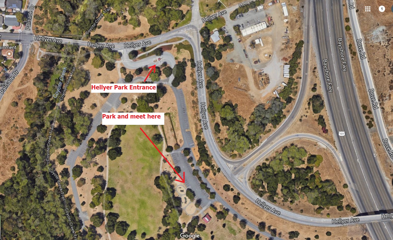
Meeting Location
We will be meeting inside Hellyer Park parking lot next to the playground area.
Use the following address and link to navigate via Google Maps:
995 Hellyer Avenue, San Jose, CA 95111Picture showing the Hellyer Park parking lot meeting place:
Biking Route
The biking route is almost 26 miles round trip. The trail is mostly level, with a slight grade going up on the way to the Skypark, and slight grade going down on the way back to Hellyer Park.
Link to biking route on MapMyFitness:
MapMyFitness: Bike Route Coyote Creek Trail from Hellyer Park to Aircraft SkyparkLunch at Aircraft Skypark
Bring a lunch to eat at the Aircraft Skypark. There are 6 stations with tables and benches. In case the stations are occupied, might also want to bring mats or portable chairs/seats.
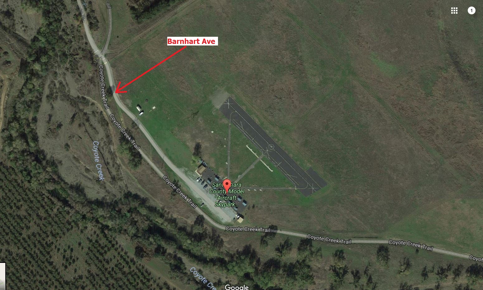
Hang Out at Aircraft Skypark
The Santa Clara County Model Aircraft Skypark is a place where people can go to fly their remote-controlled model aircraft.
Santa Clara County Model Aircraft Skypark (SCCMAS) WebsiteLink to Aircraft Skypark location on Google Maps:
Santa Clara County Model Aircraft Skypark, Coyote Creek Trail, Morgan Hill, CA 95037Picture of the Aircraft Skypark: